
Site selection software for industrial developers
Find land that's zoned for the use, clear of the constraints that sink industrial sites and served by utilities, then carry the study into your pipeline.
- 1
Search by what you need, not just where
Ask for 20-plus-acre parcels zoned industrial near sewer and get a ranked list, with owners. - 2
Every layer measured against the gross
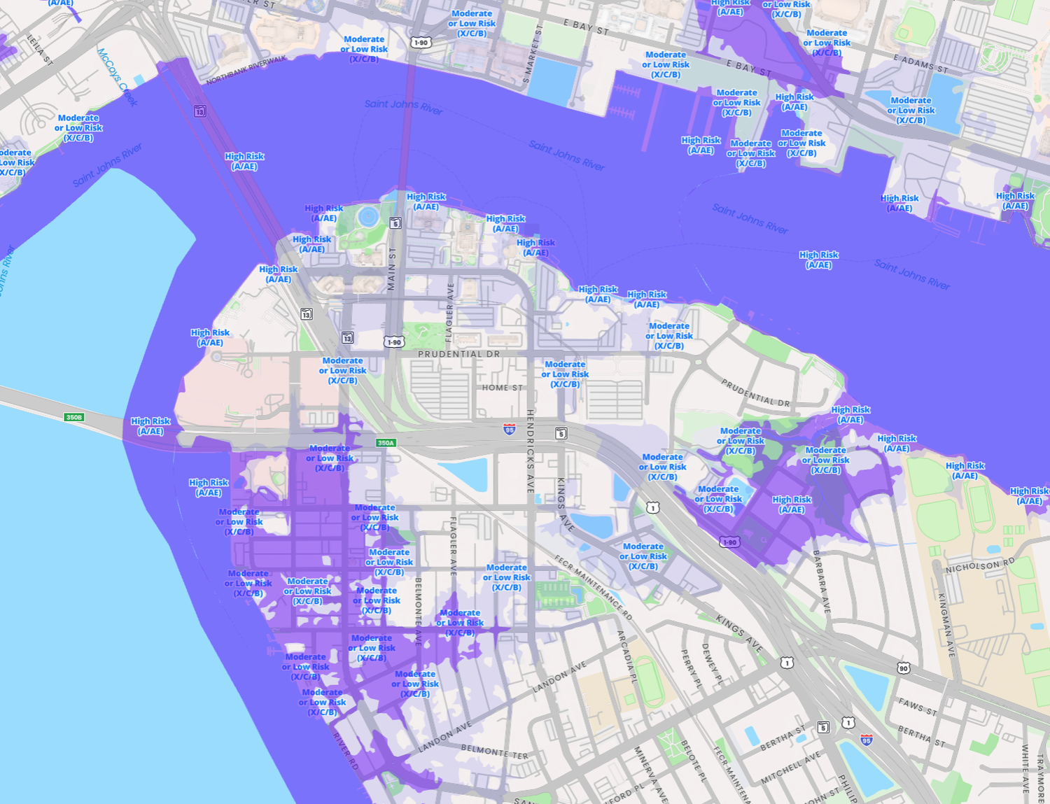
Wetlands, floodplain, slopes, soils, easements, utilities and more, each with its acreage. - 3
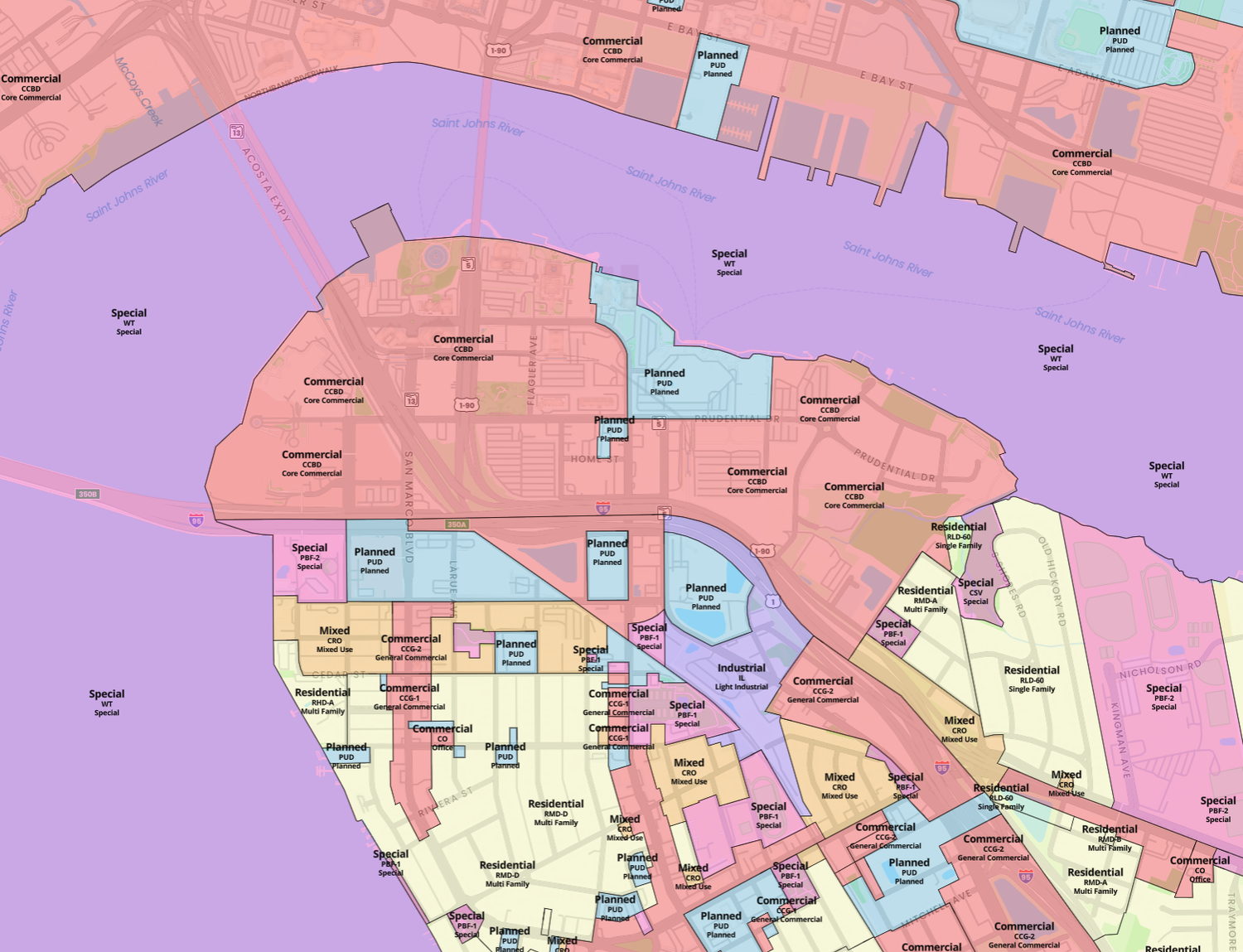
Zoning checked for the use
Whether the use is by right, conditional or out, plus height, setbacks, lot coverage and parking, with the code section behind each one. - 4
Pipeline and due diligence
Every study lands in a pipeline with a checklist, notes and files, so diligence has a home.
Ask Algomasample
Rail Spur Tract · 52.3 ac grosssample
Your studiessample
Ask. Analysis. Assemble.
The same three steps as the platform, shaped to the way industrial developers work.
Agents to supercharge your workflow
A parcel, a polygon, or a submarket to screen. Algoma pulls the zoning and every GIS layer that touches the site.
Every data point to run your analysis
Site intersections net out of the gross acreage automatically: wetlands, floodplain, slope, soils, easements, transmission lines, and whether there is sewer at the frontage.
Ready for the room
The owner of record, permit history and an LOI, then the study goes into your pipeline so the next look at the same site starts where this one ended.
Questions industrial developers ask.
Bring a parcel. We'll run it live.
A demo on a site you actually care about: the zoning, the site risks, the owner, and where it lands in your pipeline.
No setup. Bring a real parcel and we run it live on the call.